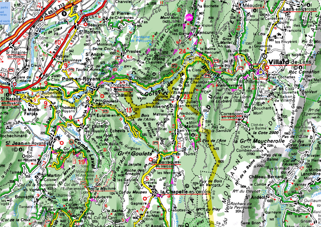
Follow the purple arrows starting at and returning to the "gite" symbol at the top. Roughly 85 mi and 7000 ft of climbing.
Rencurel → Route de Presles → Pont-en-Royans → St Jean → Combe Lavel → Col de la Machine→ la Chappelle → Herbouilly (St. Martin) → ValchevriŹre → Villard-de-Lans → Gorges de la Bourne → Rencurel